
Tickrail: Mapas do metro e do subterrâneo
Mapas do metro e do subterrâneo para Android
Metro and subway maps for 172 cities, with an offline route planner · Android
/ Capturas de ecrã
/ Sobre o Tickrail: Metro & Subway Maps
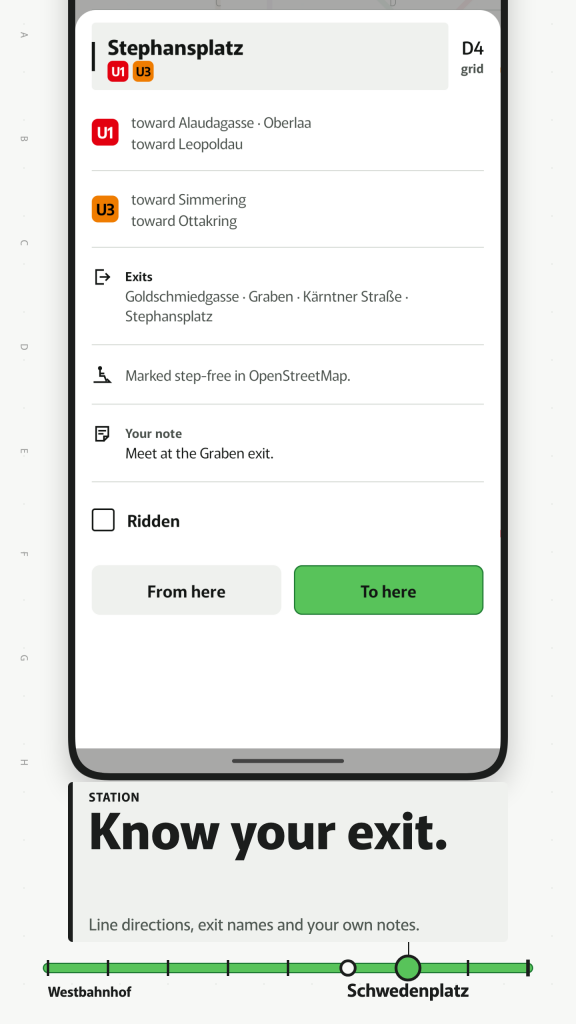
Tickrail is a metro map and subway map app with an offline route planner. Choose a city, tap two stations and the route threads through the diagram, with the terminus names you read on the platform sign. Everything is on your phone, so it works in the tunnel, at the airport and on arrival abroad.
EVERY CITY, AS A DIAGRAM OR A MAP
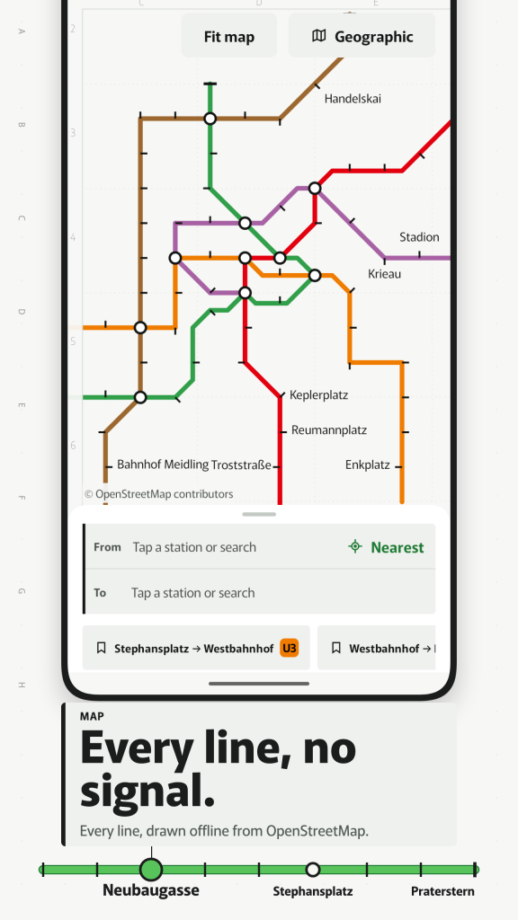
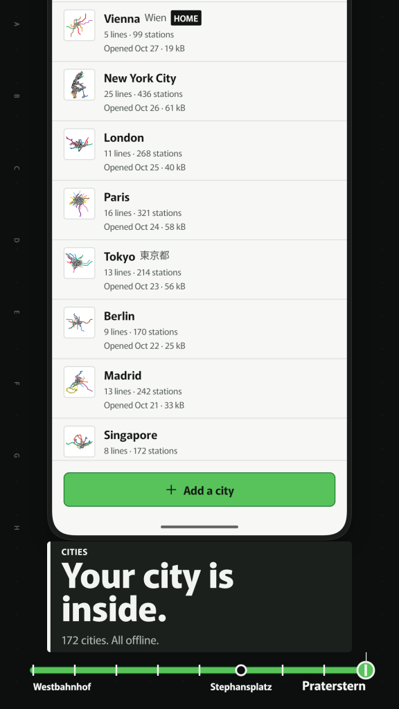
Each map is drawn by the app itself from open map data: lines in their own colours, ordinary stations as ticks, interchanges as rings, and names in the local script with a Latin line underneath. Pinch to zoom, double-tap to zoom in and use the lettered and numbered margin to find your place, as on a printed pocket map. The catalogue covers 172 cities, all offline. 108 are drawn as diagrams, among them Los Angeles, Seattle, Amsterdam, Vienna, Munich, Lyon and Nagoya. The other 64, including the New York subway map, the Paris metro map, London, Tokyo, Berlin, Madrid, Barcelona, Chicago, Singapore, Osaka, Rome, Milan, Mexico City, Rio de Janeiro, Washington DC, San Francisco and Dubai, are shown on a geographic map for now, with full route planning; a drawn diagram for them comes in updates. Every city shows what it includes and the month its data is from.
TAP TWO STATIONS, GET THE ROUTE
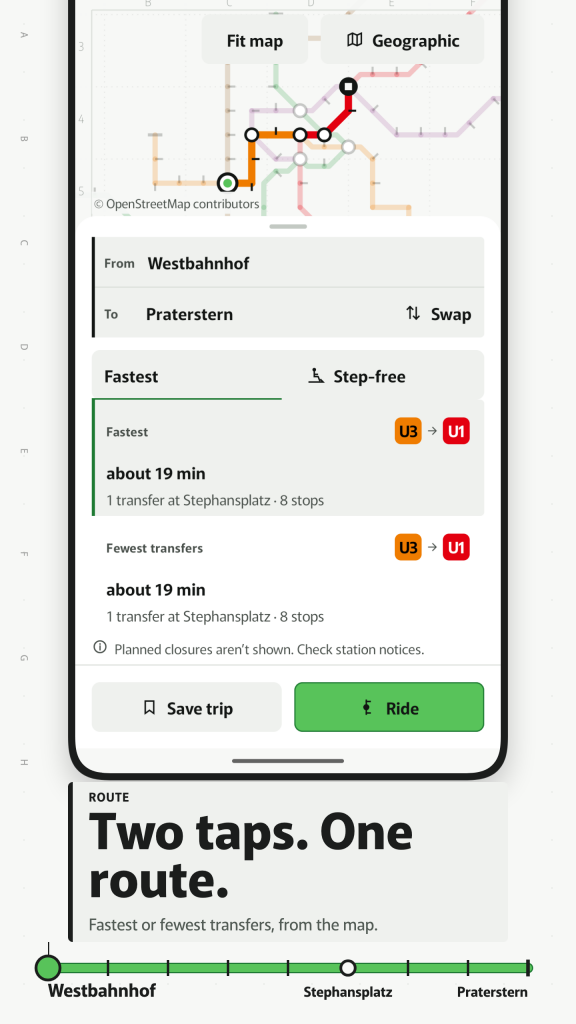
As a metro route planner, Tickrail gives you Fastest or fewest changes, each with an estimated time such as "about 11 min", the line, the direction as "toward" a terminus, and the walk between platforms where you change. Where the map data covers a city well enough there is also a step-free option, marked as map data. If walking is quicker than riding, a card says so. Loop lines use the direction names each city uses, and branches list the termini that really serve your stop.
RIDE WITH A STRIP MAP
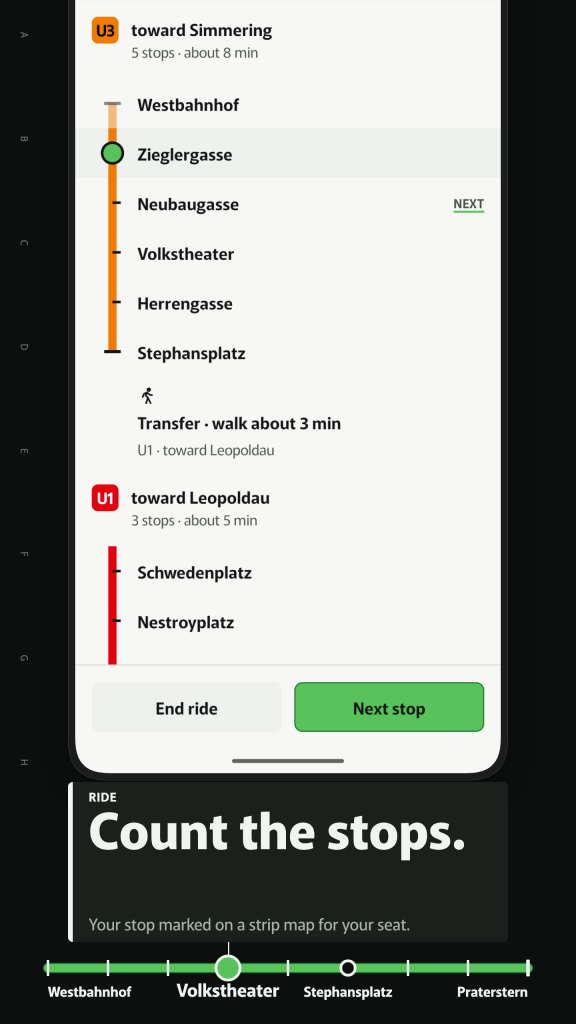
Start a ride and the line becomes a strip map like the one above the doors: every stop in order, the next stop highlighted, the change block, and the exit number where the map data has it. Tap Next stop as you go. If the app is closed mid-ride, it opens where you left off.
DIAGRAM OR GROUND
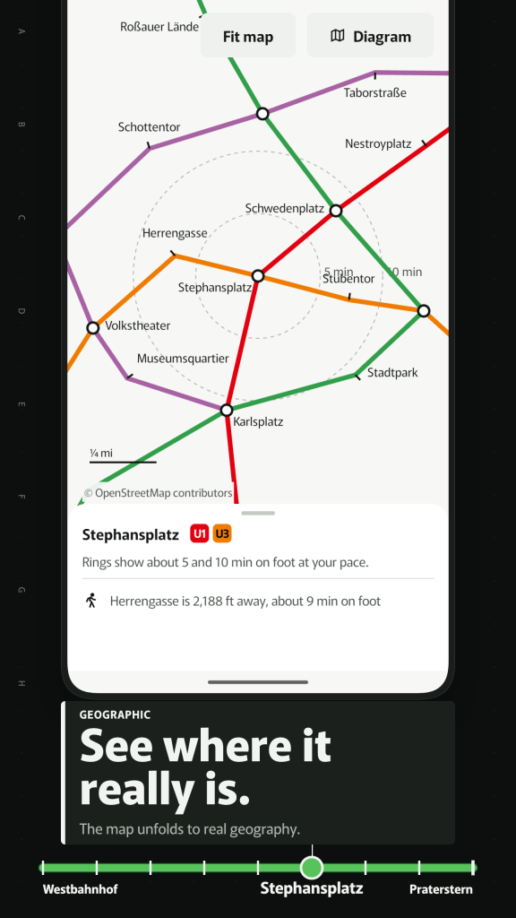
Diagrams bend distances so lines stay readable. Drag with two fingers and every station slides to its true position, with walking rings around the one you select. You see why two stations that look far apart are a short walk, and the routes already used the real geometry.
SEARCH IN YOUR OWN WRITING
Find a station by its local name, its Latin name or its code. Search understands accents, Turkish i, German ß, Korean initial consonants and Japanese kana, so you can type what your keyboard has.
SAVED TRIPS AND A RIDDEN LOG
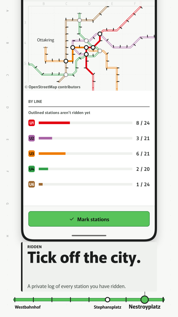
Save home to work or airport to hotel and open it in one tap. Mark stations you have ridden and see progress per line and per city. All of it stays on your phone.
DATA YOU CAN CHECK
Maps and stations come from OpenStreetMap contributors. Times and walks are estimates from map distance, labelled as such. No tickets, fares or live times, and planned closures are not shown, so check station notices before you travel. The data behind every release is published for download, and the app links to it.
UNITS AND LANGUAGES
Metres or feet, kilometres or miles and 12 or 24 hours follow your region, and each can be changed on its own. Tickrail speaks 16 languages and has a day and a dark theme, large text and TalkBack support.
OFFLINE E PRIVADO
No account, and the app does not even ask for internet access. Saved trips and ridden stations stay on your phone. This version is free and has no ads.
Independent app, not affiliated with any transit operator. Map and station data © OpenStreetMap contributors (ODbL), data: https://zydeno.com/tickrail/data/ Not endorsed by any government agency.
/ Notas
Tickrail is a metro map and subway map app with an offline route planner. Choose a city, tap two stations and the route threads through the diagram, with the terminus names you read on the platform sign.
Disponível na Huawei AppGallery.
Suporte para aplicações · Contacte o programador · Política de privacidade · Termos de Utilização
// OBTER A APLICAÇÃO