Trigmere: Survey Field Book
Levelling, traverse & COGO, offline
Levelling · Traverse adjustment · COGO · Works offline · Android
/ Screenshots
/ About Trigmere: Survey Field Book
Trigmere is an offline survey field book for levelling, traverse adjustment and coordinate geometry. Keep observations, checks and corrections together, from the first staff reading to a computation report.
BOOK THE LEVEL RUN
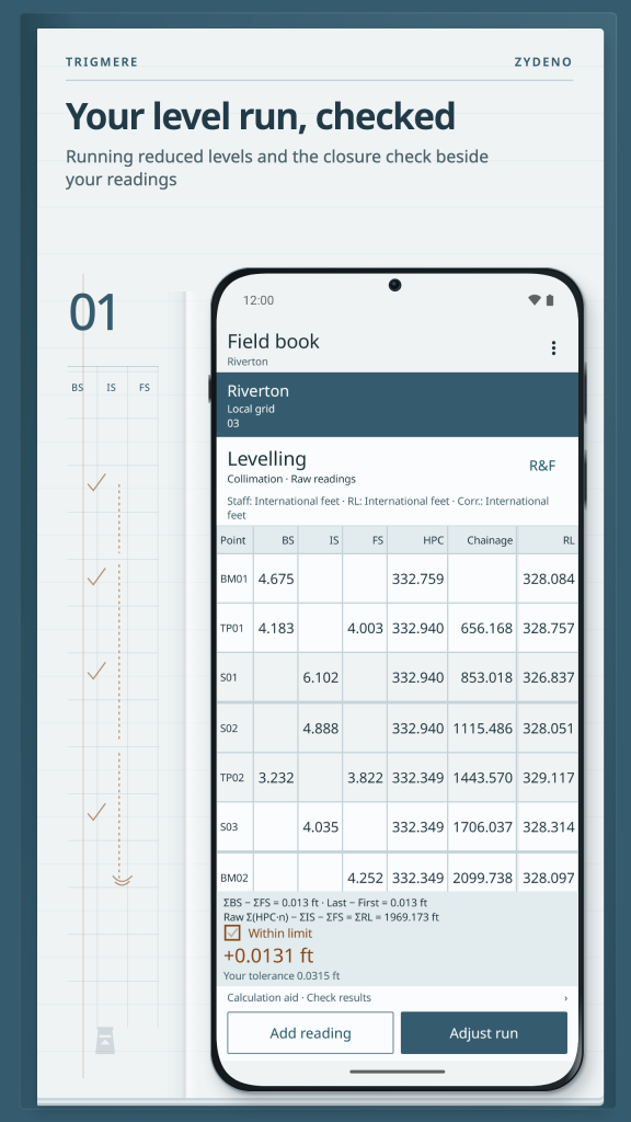
Use rise and fall or the height of collimation (HPC) method. Follow running reduced levels, enter backsights, intermediate sights and foresights, and inspect arithmetic checks and closing misclosure. Levelling corrections remain separate from the observations; compare closure with the tolerance you enter.
SEE THE TRAVERSE
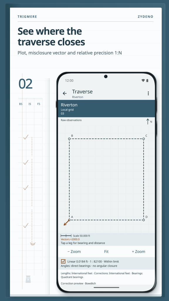
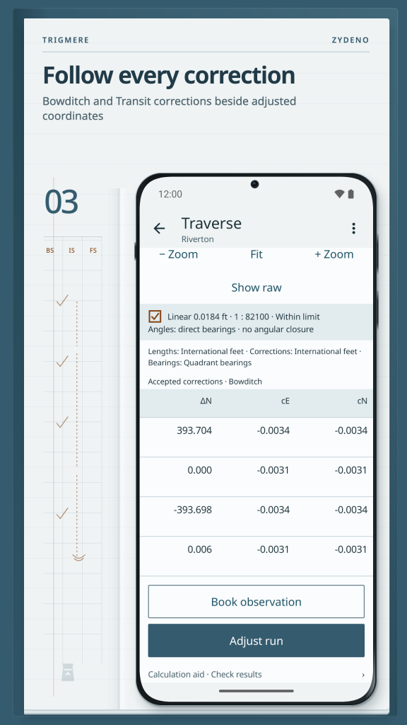
Record face-left and face-right (FL/FR) readings and rounds of directions. Inspect the plot, angular and linear misclosure and relative precision 1:N. Traverse adjustment with Bowditch or Transit shows corrections alongside adjusted coordinates, so the result can be traced back to its inputs.
WORK FROM YOUR POINTS
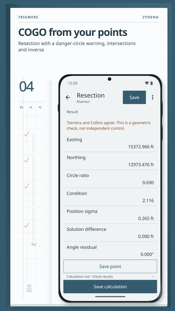
Use COGO for inverse and polar calculations, intersections, offsets, areas, circular curves and setting out. Three-point resection includes a danger-circle warning for weak geometry. Keep points in a register and reuse them across calculations.
KEEP THE COORDINATE BASIS VISIBLE
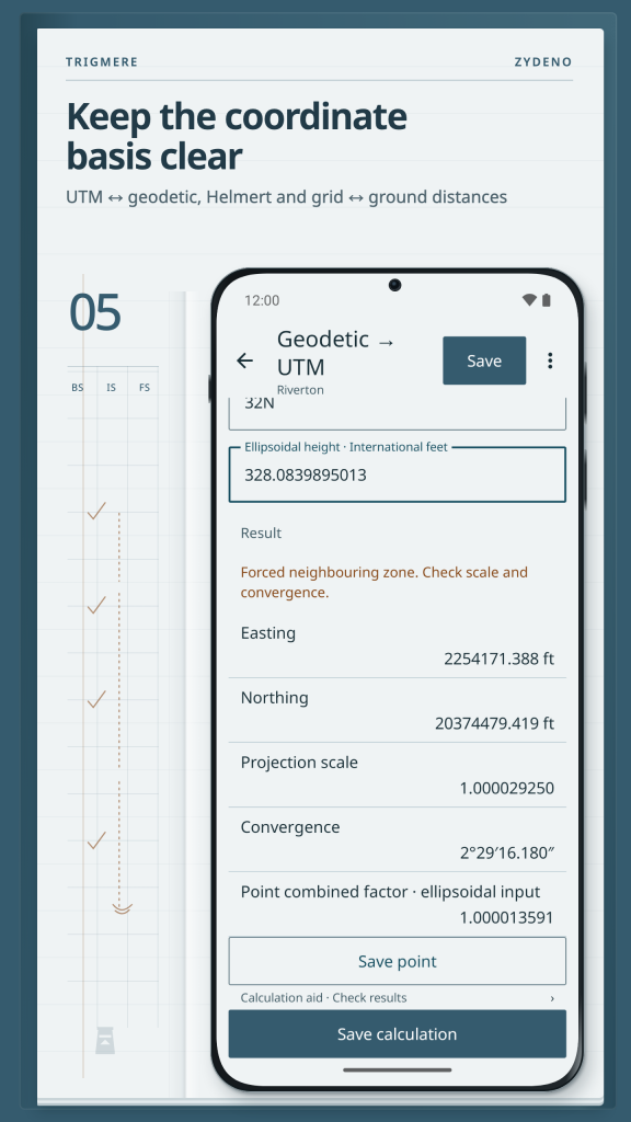
Coordinate conversion covers UTM and user-defined Transverse Mercator (TM), geodetic and ECEF coordinates, and Helmert transformations with your own parameters. Distinguish grid and ground distances and retain the chosen units and coordinate basis. No geoid models or national datum-transformation presets are included.
TAKE THE BOOK WITH YOU
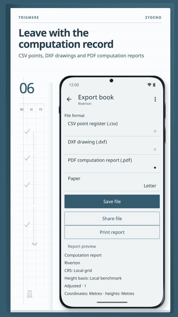
Import points from CSV. Export points and calculation records as CSV, a DXF drawing or a PDF computation report. Keep the survey field book on your device and choose where to save exported copies.
Results depend on your observations, settings and parameters. Independently check results before field use. Phone GPS provides approximate positions only, typically within several metres; it is not survey control.
Works offline. Project data stays on your device unless you export it. The current version is free, with no ads, tracking or account.
/ Notes
Trigmere is an offline survey field book for levelling, traverse adjustment and coordinate geometry. Keep observations, checks and corrections together, from the first staff reading to a computation report.
Available on Huawei AppGallery.
App support · Contact the developer · Privacy Policy · Terms of Use
// GET THE APP